How the New River keeps a northward course
The New River begins in North Carolina and runs north through Virginia before turning west across West Virginia. Its route is unusual because rivers in the region often drain toward the Atlantic, while this one crosses the Appalachian ridges instead of following the valleys between them.
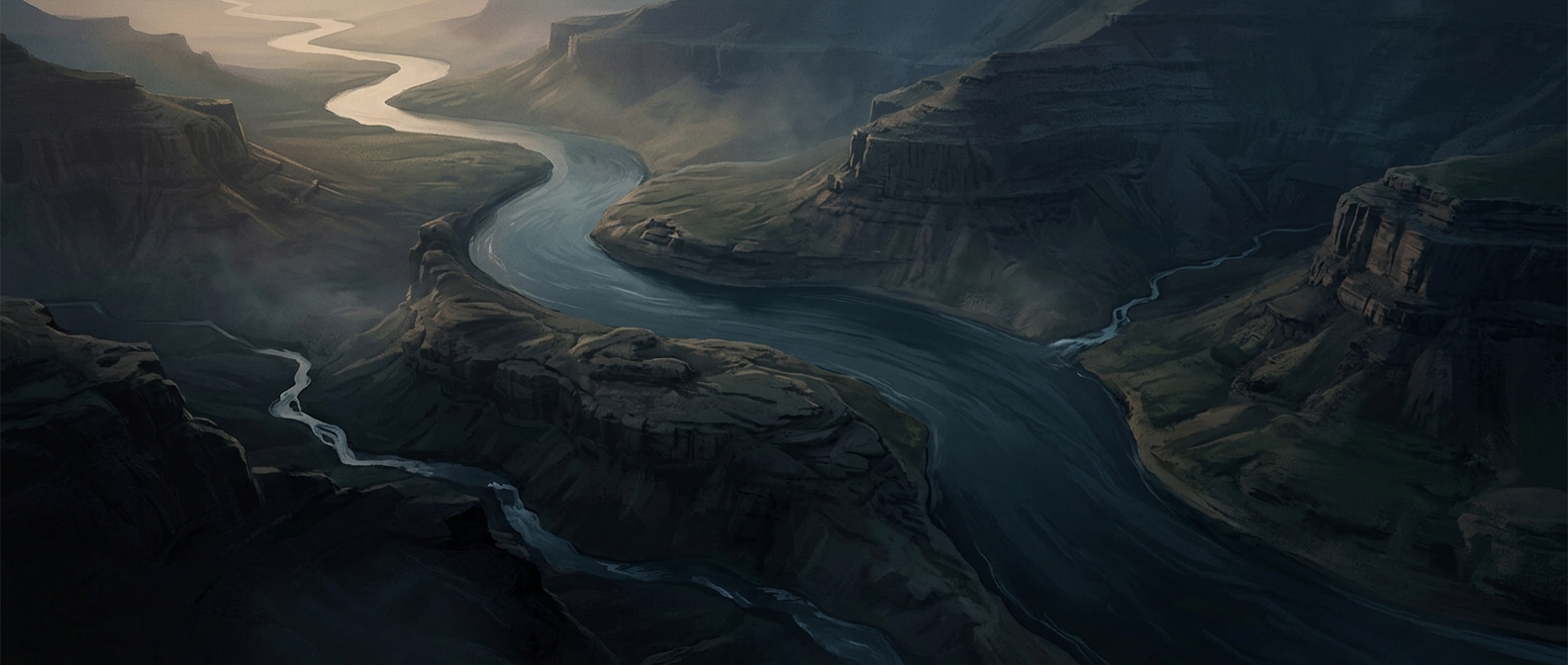
As it passes through the mountains, the river has carved narrow gaps in the ridgelines. These crossings are called water gaps: places where a stream cuts through a ridge rather than around its end. From the river, steep slopes rise close on either side, revealing how water has shaped the terrain over time.
A river older than its scenery?
The New River is often described as one of North America’s oldest rivers. The key idea is that its course may have been established before some of the present ridges took shape. As the mountains rose over long spans of geologic time, the river could keep cutting downward, preserving its route through the growing landscape.
That does not mean the river has flowed unchanged since a single, known moment in the distant past. Mountain building and erosion happened in stages, and the river’s precise age is difficult to pin down. Its striking route is the more immediate evidence: rather than yielding to the ridges, the New River slices across them.
Where the route leads
After crossing West Virginia, the river joins the Gauley River and continues as the Kanawha, which eventually drains into the Ohio River. The northward journey is therefore part of a larger westward drainage route—one reason the New River’s path feels so surprising when viewed on a map.