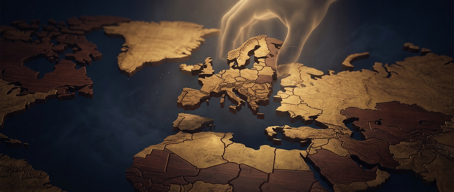
A map lesson cut into pieces
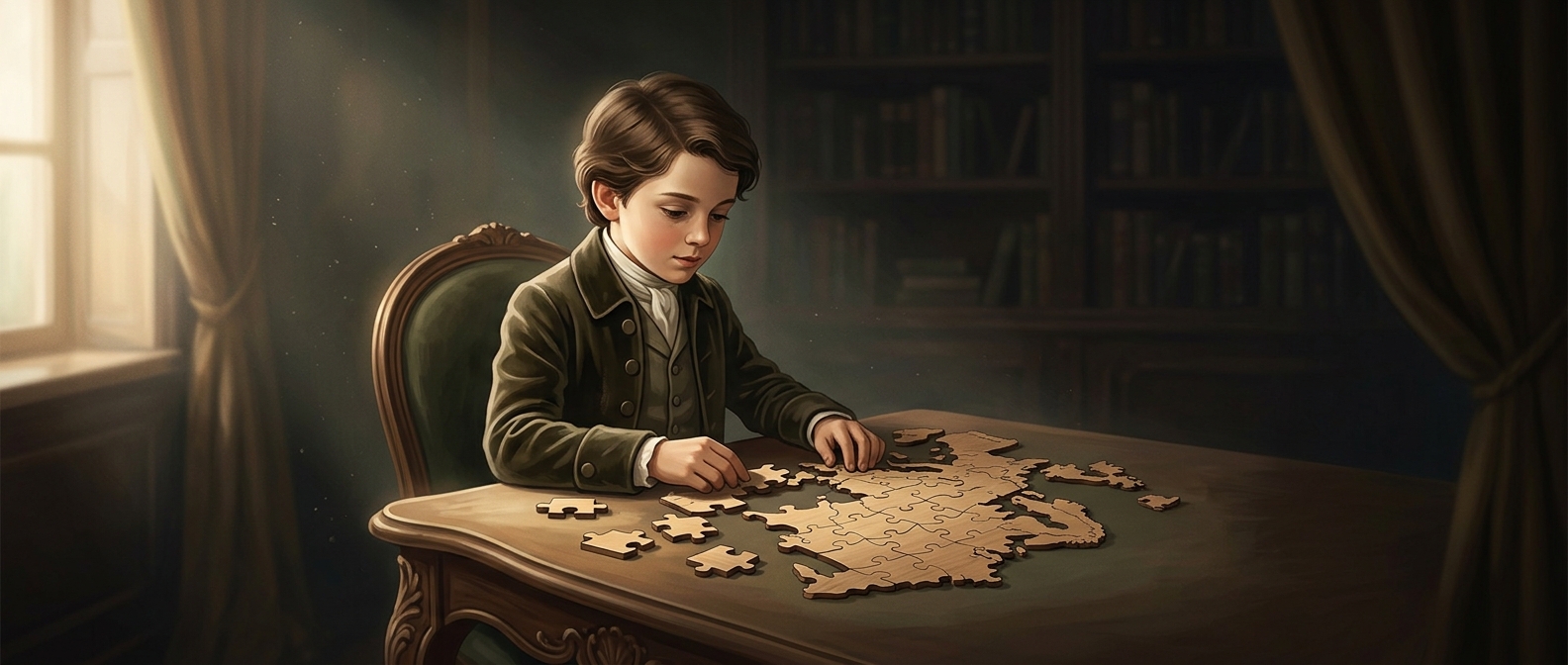
In the 1760s, British mapmaker John Spilsbury turned maps into teaching aids by mounting them on wood and cutting them apart. These early puzzles were often divided along the borders between countries or regions. A student had to put the map back together by recognizing where each territory belonged—not by following a picture of a peaceful landscape.
The cut lines carried information. A piece’s outline might trace a political boundary, but it offered little help identifying which piece fit beside it. To solve the puzzle, a learner needed some knowledge of the map: which areas touched, where they lay, and how their borders ran.
Why the pieces were so unforgiving
Modern jigsaw pieces usually have knobs and sockets that lock neighbors together. Early map puzzles generally did not. Their pieces were cut to meet along map lines, so they could sit beside one another without mechanically fastening. A wrong placement might look plausible until the borders or geography failed to line up; even a correct piece could shift while the map was being assembled.
That made the puzzle a test of both recognition and patience. The solver was not simply matching colors or distinctive shapes. They were reconstructing a political map from fragments, with the boundaries themselves serving as clues—and as the source of the difficulty.