How a Cloud Becomes a Long, Floating Tube
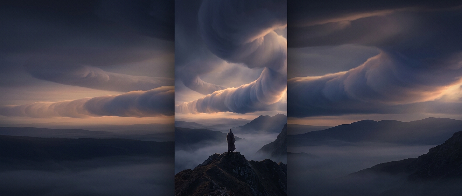
A roll cloud forms when air moves along a boundary between different air masses—often where a cool gust of air pushes beneath warmer, moist air. The displaced warm air rises, cools, and reaches the point where its water vapor condenses into tiny droplets. At the same time, air can circulate around a horizontal axis, shaping the cloud into a long cylinder.
The apparent rolling is not a solid cloud turning like a wheel. Instead, droplets form in the rising part of the airflow and evaporate where the air sinks. The cloud’s visible edge keeps renewing as the air moves through it, giving the tube its traveling, rolling look.
Why It Can Appear in the Morning
The atmosphere is often layered near the ground: cooler air may sit beneath warmer air, while a stable layer above can limit how far rising air spreads. When a moving boundary disturbs those layers, moisture can condense in a narrow band rather than billowing upward into a tall cloud. Low-angle morning light can make that band’s curved shape especially striking.
Some spectacular morning roll clouds, including the “morning glory” clouds seen in parts of northern Australia, are linked to atmospheric waves. But a tube-shaped cloud alone does not identify one specific cause; similar forms can arise in different weather patterns.
A Visible Sign of Moving Air
A roll cloud can travel ahead of a storm or along another boundary between air masses. Its arrival may bring a shift in wind or a brief gust, because the cloud marks moving air rather than an isolated object drifting overhead. The dramatic cylinder is therefore a kind of weather map in motion: its shape reveals where air is rising, sinking, and changing direction.