How a radar echo becomes a map underground
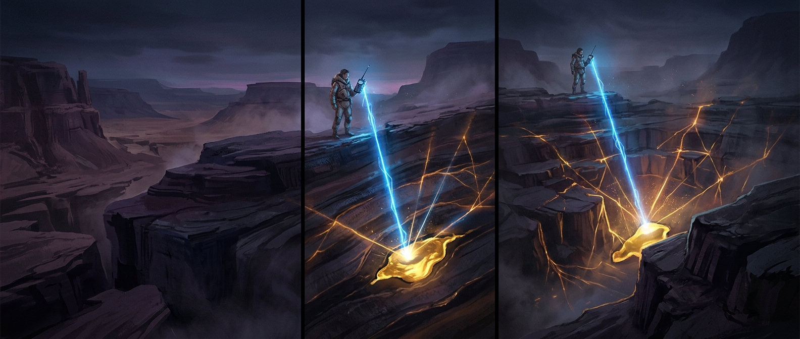
A ground-penetrating radar (GPR) unit sends brief radio pulses into the ground and records the energy that returns. When a pulse reaches a boundary between materials with different electrical properties—such as soil and a pipe, or dry soil and a water-filled void—some energy reflects back. The rest may continue deeper, producing additional echoes.
The instrument measures how long each echo takes to return. Because radio waves travel at different speeds in different materials, that delay is converted into an estimated depth, not a direct photograph. As a surveyor moves the antenna along the surface, each position adds a slice to a cross-section. Repeated passes can turn those slices into a map of likely buried features.
Why the same scan can see more—or less
The method works best when there is a useful contrast between the surrounding ground and the hidden feature. A pipe may stand out clearly in one soil and blend into another. Moisture and clay can absorb or scatter radio energy, limiting how deeply it travels; dry, sandy ground often allows deeper penetration. Higher-frequency antennas can distinguish smaller features, but their signals generally do not reach as far.
That tradeoff makes GPR a reconnaissance tool rather than a guaranteed underground inventory. An echo can indicate a boundary without identifying exactly what caused it, so crews interpret patterns and may confirm important findings with other methods. Its practical value is that it can flag a likely obstruction before digging—when a short scan can change where an excavation begins, rather than forcing a costly stop after a bucket hits something buried.