A continent can be mostly underwater
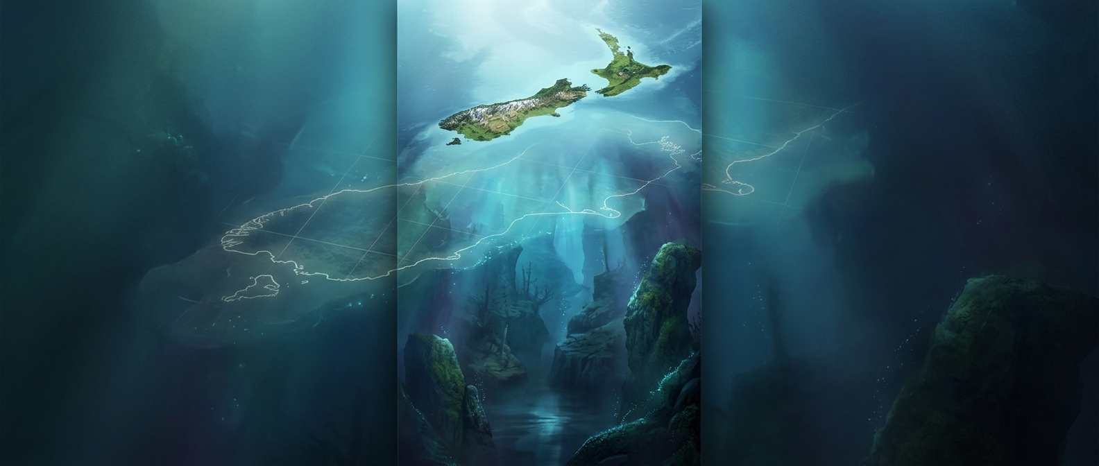
Zealandia is not simply a scattering of islands on the floor of the Pacific. It is a broad region of continental crust—the relatively buoyant rock that forms continents—whose highest points include New Zealand and New Caledonia. Most of its surface lies below sea level, hidden beneath deep ocean water.
That makes it easy to mistake the visible islands for the whole story. But coastlines show where land meets the sea, not where a continent’s underlying crust ends. Zealandia’s margins extend far beyond New Zealand’s shores.
How a continent sank without disappearing
Zealandia was once part of the ancient southern supercontinent Gondwana. As tectonic forces pulled the region apart roughly 85 million years ago, its crust stretched and thinned. Thinner continental crust sits lower than thicker crust; over time, cooling and the weight of the surrounding seafloor contributed to further sinking. The land did not drop in one sudden plunge. It gradually settled until the ocean covered most of it.
The result is a continent that remains geologically distinct even where no dry land is visible. Its submerged crust is not ordinary ocean floor, which is generally thinner and formed in a different way.
Reading the continent beneath the water
Scientists map the hidden region using the shape of the seafloor, measurements of gravity and magnetism, and samples of rock brought up from the ocean bottom. Together, these clues reveal the extent and character of the crust, much as exposed rock and terrain do on land.
New Zealand is therefore more than a pair of islands rising from the Pacific: it is the conspicuous high ground of a much larger continental landscape. From the surface, the rest is out of sight—but not geologically gone.