How the forest concealed a designed landscape
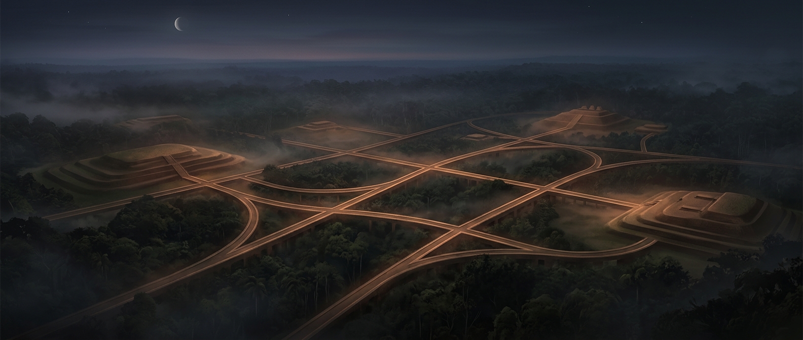
For generations, dense vegetation made it difficult to see how extensively people had reshaped parts of the Amazon. From the ground, a ditch or earthen bank could look like an isolated feature; beneath the canopy, the larger pattern was hard to recognize. Aerial surveys and laser mapping, which can register the ground’s shape through gaps in vegetation, revealed geometric enclosures arranged across broad areas.
These were not simply decorative outlines. Building them meant moving substantial quantities of soil to form ditches, raised banks and open central spaces. Their repeated shapes and careful alignment point to communities that organized labor and planned how places would be used.
Roads made separate settlements a network
Straight, wide routes linked some enclosures and settlements. That connection changes the picture: the earthworks were not necessarily isolated villages, but parts of a wider inhabited landscape. Roads could make it easier for people to travel between communities and gather in shared spaces, even where forest made movement away from cleared routes difficult.
The evidence does not mean every settlement was a densely packed city in the modern sense. Communities may have been spread out, and the exact roles of particular plazas and earthworks are not always certain. But coordinated construction and linked routes show that Indigenous societies developed organized places on a scale that is easy to miss when looking only at the forest overhead.
A different history of the Amazon
The discovery also changes what “wilderness” can mean. Forest cover can grow over settlements and infrastructure, hiding human history rather than proving people were absent. Beneath the canopy, geometric banks and avenues preserve a record of planning—and of communities whose landscape was later reclaimed by vegetation.