A Waterway Built to Move the State’s Grain
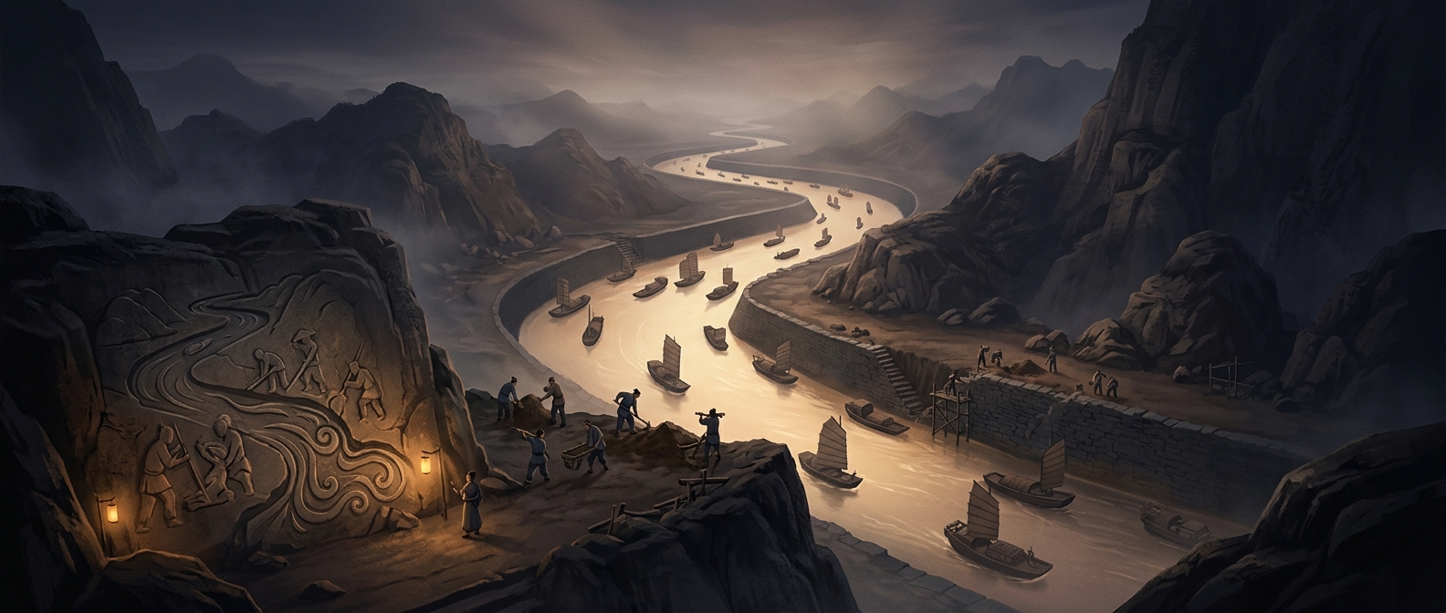
China’s Grand Canal was not simply one ditch cut straight across the country. It was a linked system of canals and river stretches, expanded over centuries to connect the grain-producing south with northern political centers. That connection mattered because grain was both food and a dependable way to move tax revenue: rulers needed to supply officials, soldiers, and residents far from the fields that fed them.
An inland route also gave the government an alternative to shipping essential cargo along the coast. Sea transport could move goods, but it exposed shipments to weather and other hazards. A navigable chain of waterways made it possible to send grain north by barge and keep much of the journey under closer state oversight.
How Locks Made the Route Work
The land did not form one level corridor. Waterways crossed terrain at different heights, and a boat could not simply climb from one level to another. A lock solved that problem with a small chamber fitted with gates: close one end, let water flow in or out until its level matches the next stretch, then open the other end. The boat rises or falls with the water rather than being hauled over the change in elevation.
Locks were only part of the work. Crews had to dig and maintain channels, manage water levels, and keep the route passable for loaded barges. The result was a transport system whose usefulness depended on constant labor and coordination—not just on the initial excavation.
The Consequence of Connecting North and South
Once connected, distant regions could supply one another on a scale that local roads could not easily match. Grain could move toward northern centers in bulk, while the state gained a practical means of binding far-flung territories through routine transport. The canal’s striking engineering achievement was therefore also administrative: it turned separate waterways into a working supply line across a vast country.