How a penguin colony paints the Antarctic ice
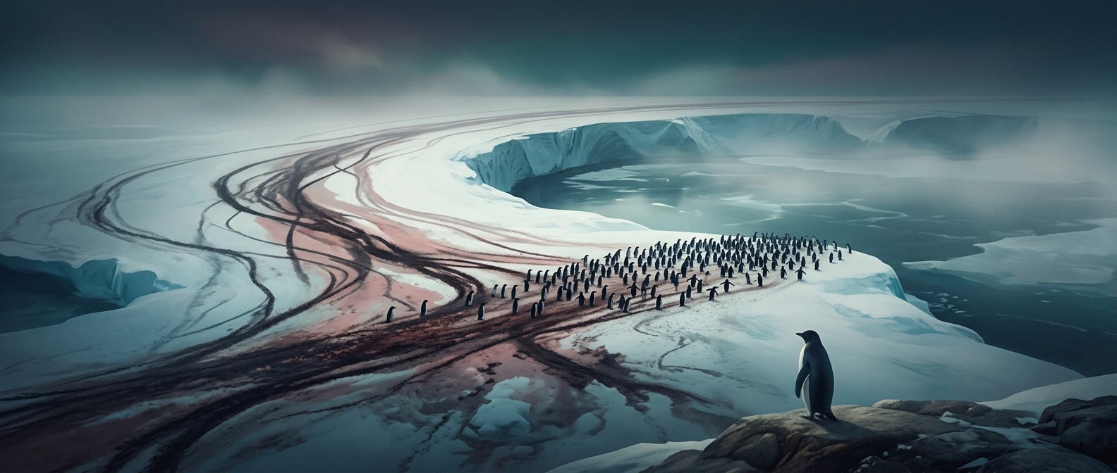
A colony’s bright mark is not simply a snapshot of birds standing together. Penguins repeatedly return to the same breeding ground, and their droppings accumulate on the snow and ice around nests. The stain can spread beyond the birds themselves, leaving a colored footprint that persists long enough to show up in satellite images.
The pink tone comes largely from pigments in the penguins’ food. Krill and other small marine animals contain carotenoids—colored compounds that pass through the food chain and can tint guano. The shade and visibility vary with diet, surface conditions, and how much snow covers the ground.
From stain to population estimate
To researchers scanning a vast, difficult-to-reach coastline, that footprint is a clue to where a colony is located and how much ground it occupies. Image analysts can map the stained area and compare it with observations from colonies that have been counted on the ground. That helps turn a striking patch of color into an estimate of colony size.
It is an indirect measure: a satellite sees the colony’s accumulated mark, not each penguin. The stain can also change as snow falls, melts, or gets disturbed, so imagery works best as part of a broader monitoring effort rather than as a perfect head count.
The practical consequence is that researchers can survey remote Antarctic shores more efficiently and spot colonies that might otherwise be overlooked. In a place where reaching a breeding site can be difficult, even the ground beneath the penguins becomes evidence of where—and roughly how many—are living there.