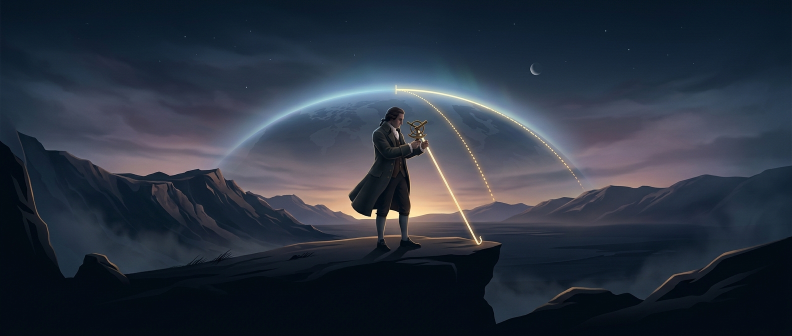
A unit measured against the planet
When French revolutionaries set out to create a new system of measurement in the late 18th century, they wanted units that did not depend on a king’s foot, a local market’s yardstick, or any other regional custom. The meter was designed as a fraction of Earth: one ten-millionth of the distance from the equator to the North Pole along a meridian, an imagined line running from pole to pole.
That definition made the unit sound universal, but Earth’s size was not written on a ruler. Surveyors had to measure a portion of a meridian and use geometry to estimate the full distance.
How a short survey stood in for a long arc
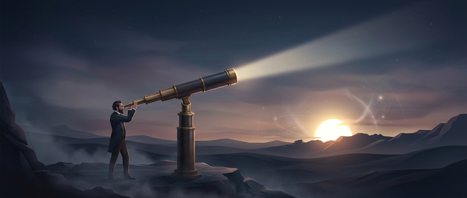
The key technique was triangulation. Surveyors measured one carefully chosen baseline, then observed the angles from points on hilltops and other landmarks. With those angles, they could calculate the lengths of connected triangles without measuring every stretch of difficult terrain directly.
To anchor the estimate, the French astronomers Pierre Méchain and Jean-Baptiste Delambre measured a meridian arc between Dunkirk and Barcelona. Their route crossed a politically unsettled landscape, and the work took years. Small errors in measuring angles or locating positions could affect the estimate of the planet’s full circumference—and therefore the proposed meter.
A lasting idea, an imperfect Earth measurement
The survey did not produce a perfectly accurate value for the intended fraction of Earth. The planet is not a perfect sphere, and the measurements had unavoidable limits. Still, the project established a powerful principle: a shared unit could be defined by a natural feature rather than by a ruler kept in one place.
That Earth-based definition was later replaced by definitions tied to physical standards and, ultimately, to a fixed speed of light. But the original ambition remains striking: to make an everyday length depend on a measurement that required surveying a continent.