Turning a racetrack into a measured surface
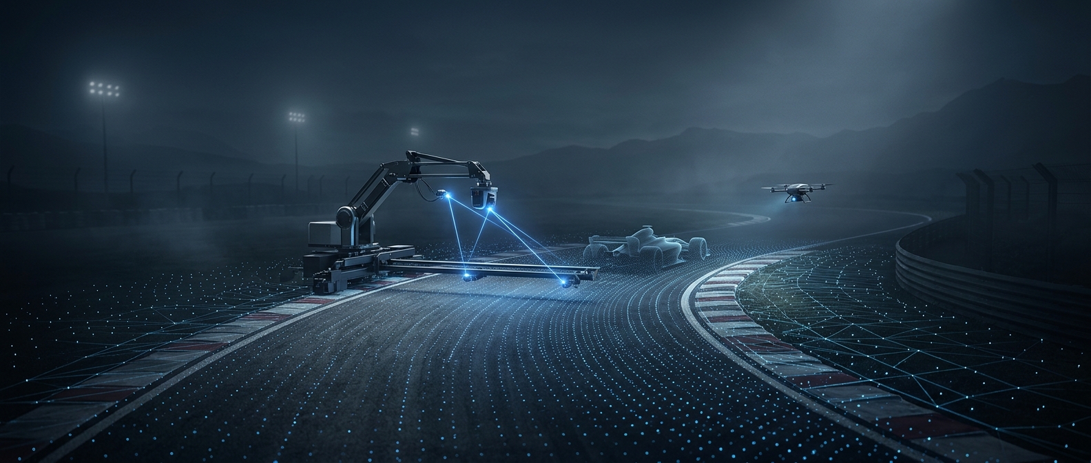
A laser scanner records the track as a dense cloud of measured points. Together, those points describe not just the course’s outline but the small changes in height across its pavement: a patched pothole, a crack, or a shallow dip. The result is closer to a three-dimensional survey than a conventional map.
That raw survey must then become a surface a game can use. The important step is preserving the shape of the pavement as it is represented in the virtual track. If the surface were reduced to a smooth ribbon, the scan’s fine detail would survive visually only as texture, not as geometry the car can drive over.
Why tiny changes matter at speed
A car responds to the road beneath its tires, not merely to the track’s visible edges. A bump can make the body rise or jolt; a dip changes how the suspension settles. Reproducing those contours gives a familiar corner or straightaway a more specific feel, because the road’s irregularities affect the car as it crosses them.
The scan is a starting point, not a guarantee that every real-world imperfection will be equally noticeable in play. The useful detail is the detail that reaches the simulated driving surface. That is why measuring the track so precisely matters: it gives the virtual version the physical shape needed to reproduce the bumps, rather than asking artists to guess where they are.