A route assembled across centuries
The Great Wall is easier to picture as a changing frontier system than as a single road. Different dynasties built, repaired, extended, or abandoned defensive lines in response to the threats and terrain of their own times. Some stretches were made of masonry; others used packed earth, trenches, or mountain ridges that served as barriers themselves. The familiar image of one stone wall threading across China combines pieces from a much larger, less uniform network.
The gaps are part of the landscape
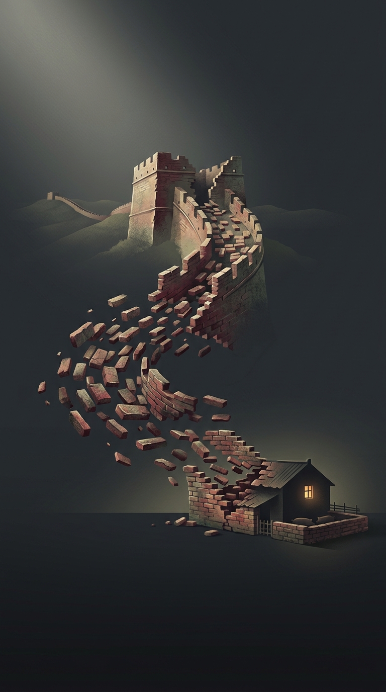
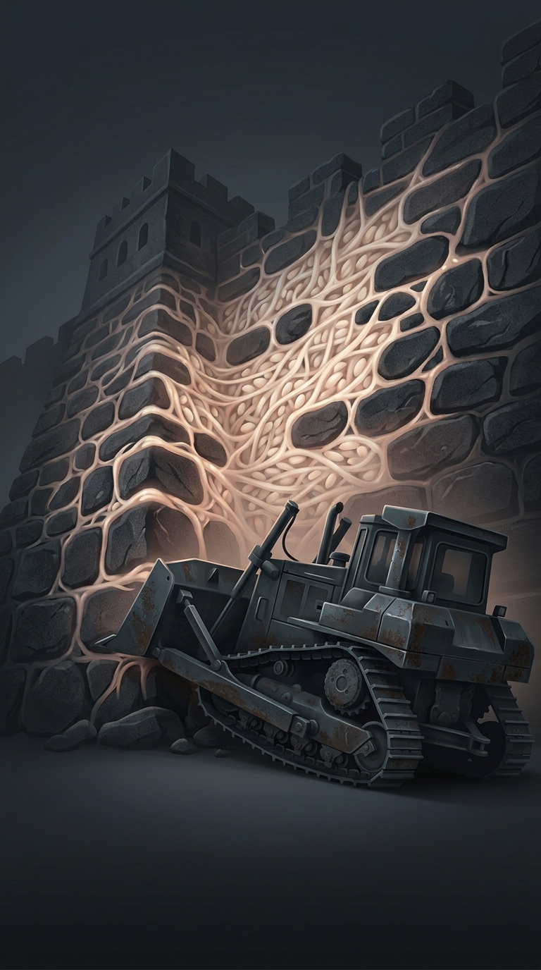
Those varied defenses do not join into a continuous hiking trail. In some places, a wall has eroded into a low ridge or vanished beneath vegetation. Elsewhere, the route runs through steep mountains, crosses farmland, or reaches land that is privately owned. A visible remnant may stop abruptly because the defensive line once continued as an earthen rampart, relied on a natural obstacle, or simply was not built farther.
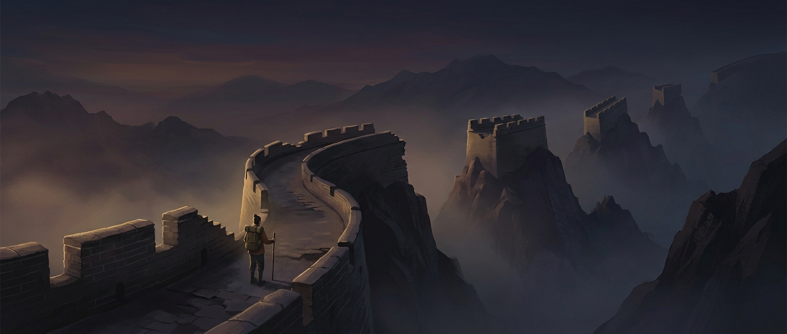
This makes an end-to-end trek a problem of access and terrain as much as distance. A traveler cannot assume that one section leads safely or legally to the next; reaching another remnant may require leaving the wall and finding a separate route. Popular restored sections offer managed access, but they are only small, accessible pieces of the wider system.
A wall, not a single trail
The most revealing way to explore it is to treat each stretch as a place with its own history and landscape. A restored parapet, a crumbling earthwork, and a mountain pass can all belong to the Great Wall tradition without forming one walkable line. The breaks are not merely obstacles: they show how defense was shaped by local terrain, changing borders, and centuries of construction.