A lake enclosed by a national border
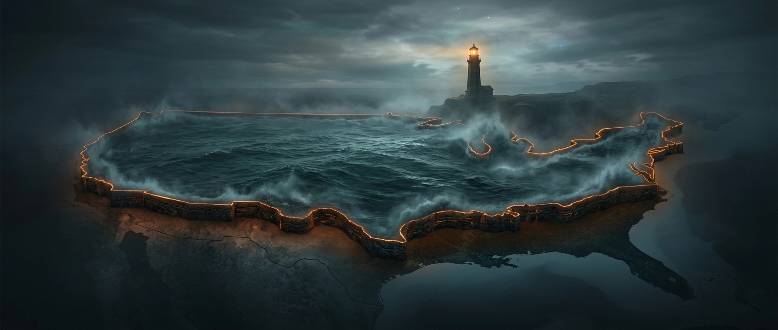
Lake Michigan’s shoreline lies entirely within the United States, unlike the other Great Lakes, whose waters or shores cross the U.S.–Canada border. That makes it the largest lake located wholly within one country by surface area. The border does not form a visible wall around the water; instead, the lake’s position among U.S. states gives it a distinctly domestic shoreline, from Wisconsin and Illinois to Indiana and Michigan.
Connected, but still called Michigan
At the Straits of Mackinac, a narrow passage between Michigan’s Upper and Lower Peninsulas, Lake Michigan meets Lake Huron. Water flows freely between them, and their surfaces stand at the same level, so geographers sometimes treat them as one hydrological lake. Yet the two retain separate names and identities, and Lake Michigan’s recognized basin remains within the United States.
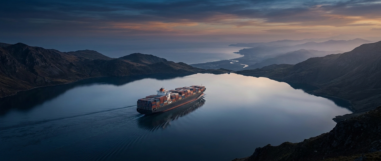
That connection also shapes the lake’s character. Ships can pass between the lakes through the straits, linking ports on Lake Michigan with the wider Great Lakes system. For travelers, the passage is a reminder that a lake can be both a distinct regional landscape and part of a much larger water network—without its shoreline crossing an international border.