A moving map, not just a higher view
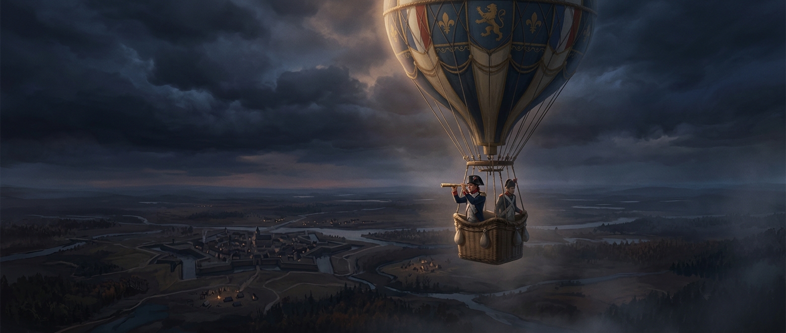
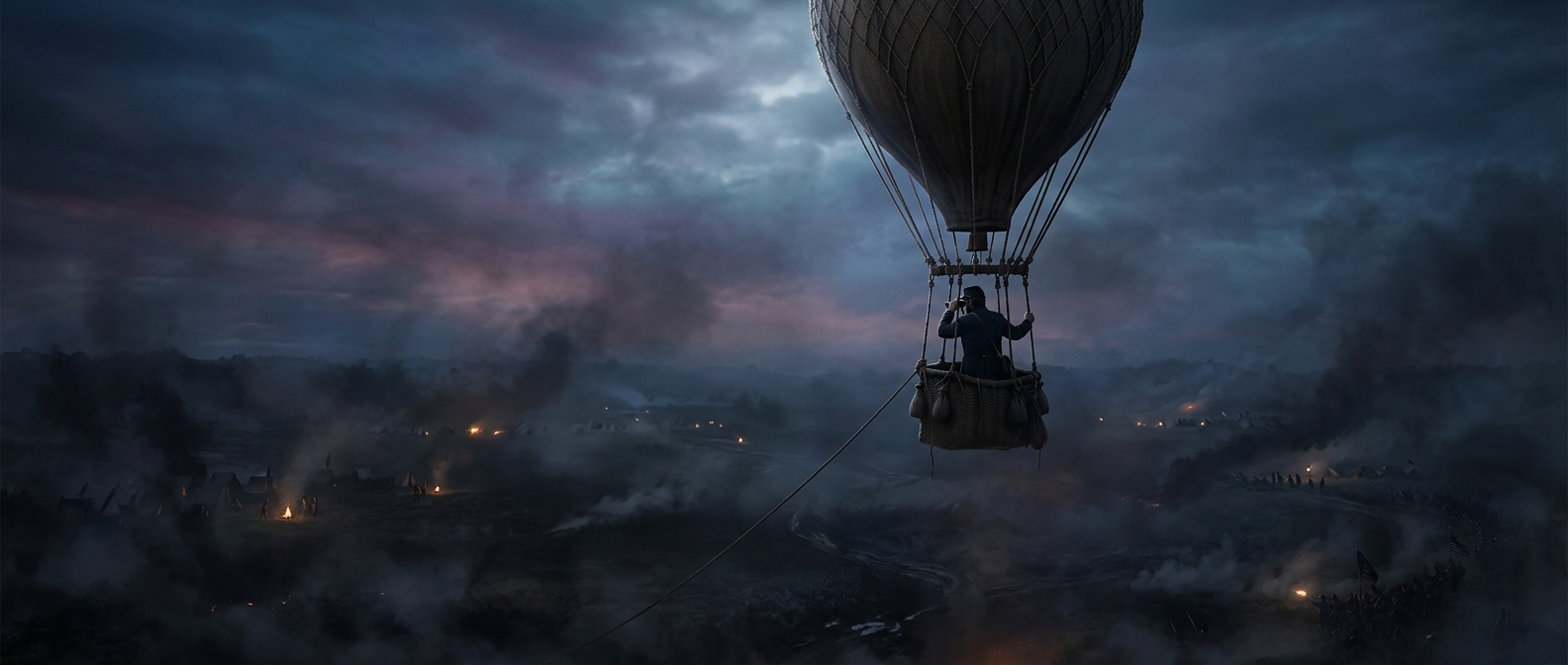
From the ground, a ridge or line of trees could hide a regiment. From a balloon, those same obstacles became part of a larger pattern: observers could see roads, clearings, earthworks, and troops moving between them. The advantage was not simply height. It was the ability to relate separate features across a broad stretch of terrain—information that could help commanders judge where forces were gathering or where defenses ended.
Observers used field glasses and sketches to turn that view into something useful. A drawing could mark the shape and position of enemy lines, while written reports added details a map could not show, such as movement. The observations were imperfect: distance flattened the landscape, haze obscured detail, and a changing viewpoint made exact positions hard to pin down.
The wire made the balloon useful
A tether kept the balloon connected to the ground instead of letting it drift away. In some operations, a telegraph wire ran up to the observer, allowing messages to be sent down while the balloon remained aloft. That shortened the gap between seeing a movement and telling commanders about it. Without a fast way to relay observations, even a commanding view might become stale before it reached the people who could act on it.
The arrangement also imposed practical limits. A balloon needed gas, a crew, and ground support; wind and weather could make an ascent difficult or dangerous. Its position was visible, too, making it a conspicuous target and sometimes forcing it to be pulled down. The balloon’s real innovation was linking a temporary aerial view to rapid communication—turning what one observer could see into information a command could use during the battle.