Why a forecast can miss a shower by a few streets
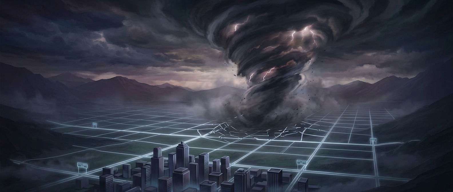
A weather forecast is built from measurements taken at scattered points—weather stations, balloons, aircraft, satellites and radar—then combined with computer models. Those models divide the atmosphere into three-dimensional grid cells. They calculate how air, moisture and heat move through each cell and between neighboring cells, but they cannot represent every roof, hill or gust separately.
That matters most for small, fast-changing weather. A thunderstorm may form when warm, humid air rises, cools and condenses into a cloud. Tiny differences in sunshine, wind or moisture can determine where that rising air gathers strength. The storm can then drop heavy rain over a compact patch while the surrounding area gets little or none.
The atmosphere changes faster than the map
Forecasters start with an incomplete snapshot: instruments cannot measure every part of the sky, and observations arrive at different times. A model uses those measurements to estimate the atmosphere’s current state, then projects it forward. Small errors in that starting estimate can grow as the forecast runs, especially for local storms whose development depends on delicate conditions.
Computer grids have become finer, but a grid cell still represents an area, not a single property. If a rain band is narrower than the model can resolve, its exact path may be blurred or shifted. A forecast can therefore get the general pattern right—showers in the region, for example—without pinpointing which blocks will be wet.
Why radar helps, but cannot promise your street
Radar detects precipitation already falling, making it useful for short-term updates. Forecasters can watch a storm’s movement and estimate where it may go next. But radar does not eliminate uncertainty: a storm can strengthen, weaken or change direction, and predicting where a new shower will form is harder than tracking one that already exists.
This is why forecasts often communicate a chance of rain rather than a guarantee for each address. That probability reflects uncertainty across the forecast area and period; it is not a promise that rain will be evenly distributed. On a stormy day, the most accurate regional forecast can still leave one block dry and the next one drenched.