A knot links a ship’s speed to the miles on its chart
A knot means one nautical mile per hour. That makes it more than an old-fashioned way to describe speed: it matches the distance unit used in marine navigation. If a ship travels at 20 knots for three hours, it covers about 60 nautical miles through the water, assuming its speed stays steady.
A nautical mile is based on Earth’s geometry. It corresponds to one minute of latitude, so distances measured on a chart can be related directly to positions on the globe. The connection is especially useful at sea, where a navigator needs to estimate how far a vessel will travel before reaching a point or changing course.
The name comes from a rope and a timer
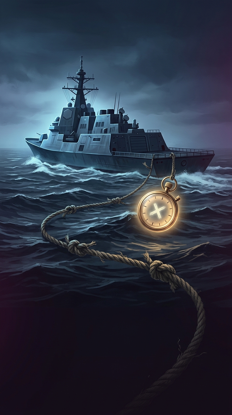
Before electronic instruments, sailors estimated a vessel’s speed with a device called a chip log. They let a weighted board trail behind the ship on a line marked at regular intervals. As the ship moved, the line ran out; sailors counted how many marks—or knots—passed through their hands during a timed interval. The count gave an estimate of speed.
The old measuring method is gone, but its name survived. Modern navigation systems calculate speed electronically, while ships continue to use knots because the unit fits the distances and calculations used in marine navigation.
One shared unit makes navigation easier to compare
Knots also provide a common language across vessels and charts. A destroyer, a cruise ship, and an aircraft can all report speed in the same unit, even though their routes and operating conditions differ. For a ship, the number is most useful when paired with the right kind of speed: movement through the water can differ from movement over the seabed when currents push the vessel along or hold it back.
That distinction matters in practice. A ship may make a certain speed through the water yet arrive sooner—or later—than that speed alone would suggest, because the current changes its progress over the chart.