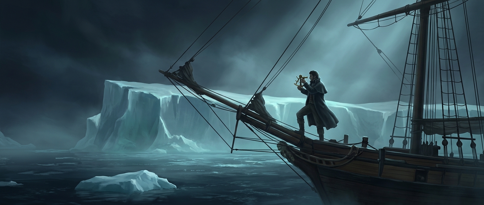
How Antarctica Became More Than a Theory
For centuries, mapmakers imagined a vast southern continent, sometimes called Terra Australis, as a counterpart to the lands of the Northern Hemisphere. But an idea on a map was not evidence. The southern seas were difficult to navigate, and ice, storms, and long distances made the region exceptionally hard to observe.
That changed in 1820, when expeditions reported seeing land at the edge of the Antarctic region. The sightings turned a geographic possibility into a claim grounded in observation—though they did not immediately reveal the continent’s full shape or extent.
A Sight Was Not Yet a Map
Antarctica’s coastline is difficult to read from a ship. A high wall of ice may conceal the rock and land behind it, while floating ice can resemble a solid shore. Early observers therefore faced a practical question: had they seen the continent itself, or ice associated with it?
Several expeditions reported sightings in 1820, and historians do not treat the question of who saw Antarctica first as entirely settled. The cautious historical point is that the continent was sighted that year, not that one uncontested observer identified and mapped it all at once.
From Report to Geographic Reality
A sighting established that land lay far to the south, but confirming its boundaries required further voyages and observation. Antarctica remained largely unknown because its conditions made exploration dangerous and limited how long crews could work near the coast.
The distinction matters: 1820 marks the shift from a long-standing conjecture to observed land, while the continent’s detailed geography emerged much more slowly. Early sightings confirmed the existence of a southern continent without yet making it a familiar or fully understood place.