How Real-World Combat Logic Shapes a Game Map
A level designer planning a city block has a problem familiar to military planners: every wall, doorway, and open stretch changes what can be seen and where people can move. A long street may expose a player to fire from distant windows; a narrow alley may offer cover but funnel everyone through the same route. Manuals on urban combat and terrain data give designers a structured way to think through those relationships rather than arranging buildings as scenery alone.
Sightlines and routes create choices
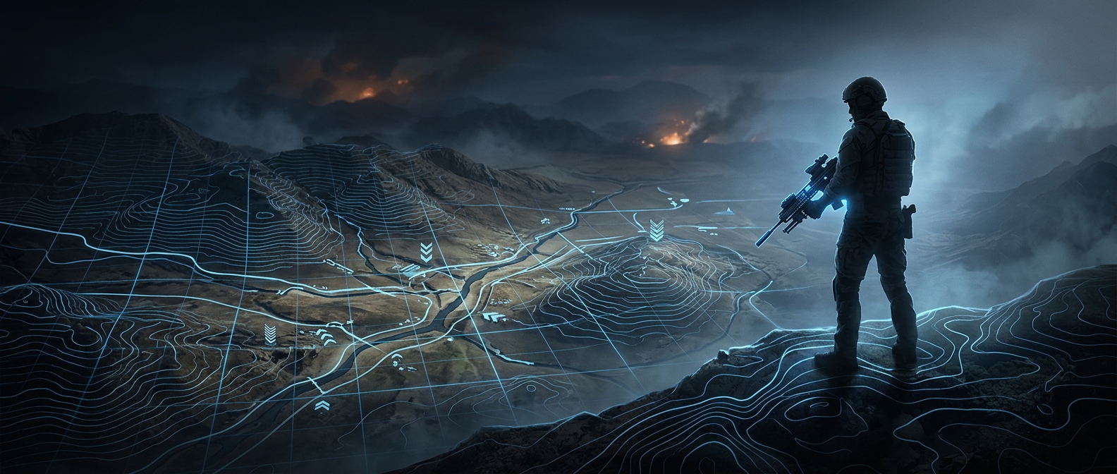
A sightline is the path between a viewer and something they can see. Designers can use windows, corners, and gaps between buildings to decide where players are exposed, where they can scout, and where an opponent might appear. Terrain data—information about the shape and elevation of a place—can also help reveal which positions overlook others and which routes are hidden.
Buildings channel movement in similar ways. A broad plaza permits several approaches but leaves little cover; a tight passage protects movement while making the route predictable. These choices shape the decisions players face: cross quickly, take a longer covered path, or try to control a position overlooking the route.
A real layout still has to play well
Borrowing combat principles does not mean reproducing a real battlefield exactly. A game map must remain readable and enjoyable, and it has to support the particular pace and objectives of the game. Designers therefore adapt real-world ideas—such as the advantage of cover or the risk of crossing open ground—into layouts that give players understandable options and avoid making one position or route dominate every encounter.
The result is a map whose buildings do more than provide visual realism: their arrangement quietly directs what players can see, where they can go, and which choices feel dangerous.