A route drawn in coordinates, not paint
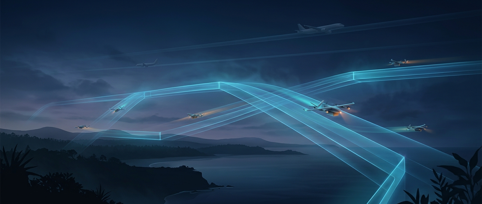
A digital flight corridor is a permitted path represented in a drone’s navigation software. Instead of following visible markings, the aircraft uses its position—typically estimated from satellite navigation and other onboard sensors—to compare where it is with the route stored in its system. The corridor can be pictured as a three-dimensional tube: the drone is meant to remain within its allowed horizontal area and altitude range as it travels from one point to another.
That route gives the drone a plan, but the plan matters only if the aircraft can keep checking its position and correcting its course. Wind, navigation error, or a communications problem can push a drone away from where the software expects it to be, so the system must account for its operating limits rather than treating a digital line as a physical guide.
Geofences mark the edges—and the exclusions
A geofence is a virtual boundary encoded in software. It can define an area a drone may enter, a corridor it should stay inside, or a region it must avoid. If the planned route approaches a restricted boundary, route-planning software can keep the drone out; if the aircraft nears a boundary in flight, its control system can warn or steer it back, depending on how that system is designed.
This makes routes easier to update than physical infrastructure: changing the software can change where a drone is directed. But a geofence is not a wall in the sky. It depends on accurate positioning, a current map, and a functioning navigation and control system.
A virtual lane is not the same as seeing a plane
A corridor can organize drone traffic and keep it away from designated areas, but it does not, by itself, detect every aircraft that might cross the route. A plane or helicopter can occupy the same airspace without following the drone’s digital map. Avoiding an unexpected encounter therefore also depends on whatever traffic information, coordination, or onboard detection-and-avoidance capabilities are available.
The useful distinction is simple: the corridor tells a drone where it is supposed to fly; separate safeguards are needed to respond when the sky does not follow the plan.