Why a familiar ferry route can become shallow
A ferry follows a channel, but a channel through sand is not a fixed groove. Currents carry sediment along the bottom; where the flow slows, some of that sand settles into ridges. Elsewhere, stronger water can scour a deeper path. The result is a seabed that may change even when the shoreline and ferry route look unchanged.
Tides complicate the picture. As the water level falls, a ferry has less depth beneath its hull. A vessel that passed safely at high water may touch bottom later, especially if it draws deeply—that is, if its hull extends far below the waterline.
The bottom can move between surveys
Nautical charts and depth measurements help crews identify safe channels, but they record conditions at a particular time. In mobile sandy areas, later currents can shift the usable passage. Local knowledge, updated soundings, and careful attention to water levels help crews judge where a ferry can pass; they cannot make an unstable seabed perfectly predictable.
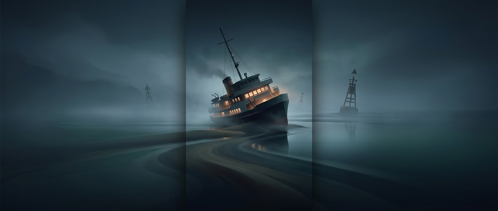
When a keel settles onto a sandbar, the immediate problem is often that the boat cannot move freely. If the hull is intact and the tide is rising, added water may eventually provide enough clearance to refloat. If not, the operator may need to wait for a suitable tide or arrange assistance. The practical consequence is that a short crossing can be delayed not by distance, but by a change in the few feet of water beneath the vessel.