A border drawn through moving water
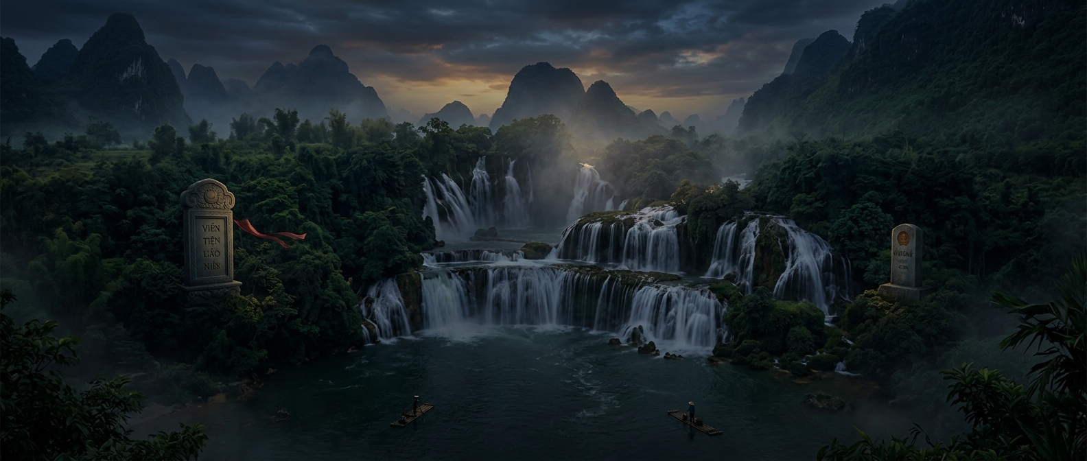
Ban Gioc Falls lies where the Quay Son River crosses the Vietnam–China boundary. That makes the border more than a line on a map: it passes through a river whose channel breaks into ledges and drops. The cascade is commonly called Ban Gioc in Vietnam and Detian in China, reflecting the two countries’ names for the same borderland landmark.
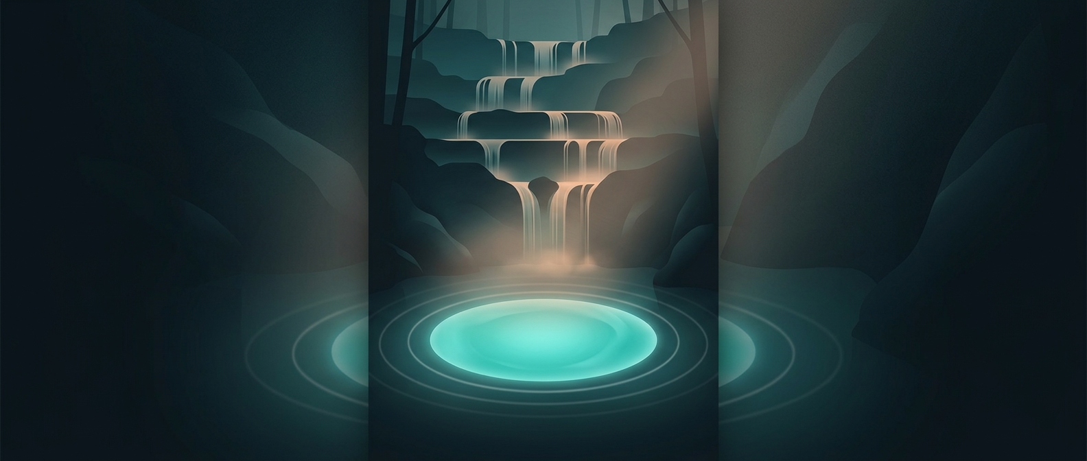
The water does not divide itself into neat national halves. It spreads across a broad, uneven rock face, splitting into streams and rejoining in pools below. As a result, the boundary’s passage through the falls is easier to understand on a map than to pick out in the rushing water.
One landscape, viewed from two sides
The setting also shapes how visitors encounter the site. Each country approaches the cascade from its own territory, so the same formation can appear differently depending on the viewpoint: a sweep of falling water from one bank, or a closer view of its tiers and channels from another. The international boundary gives the falls political significance, but the river’s connected flow is what makes the scene feel like one continuous landscape.
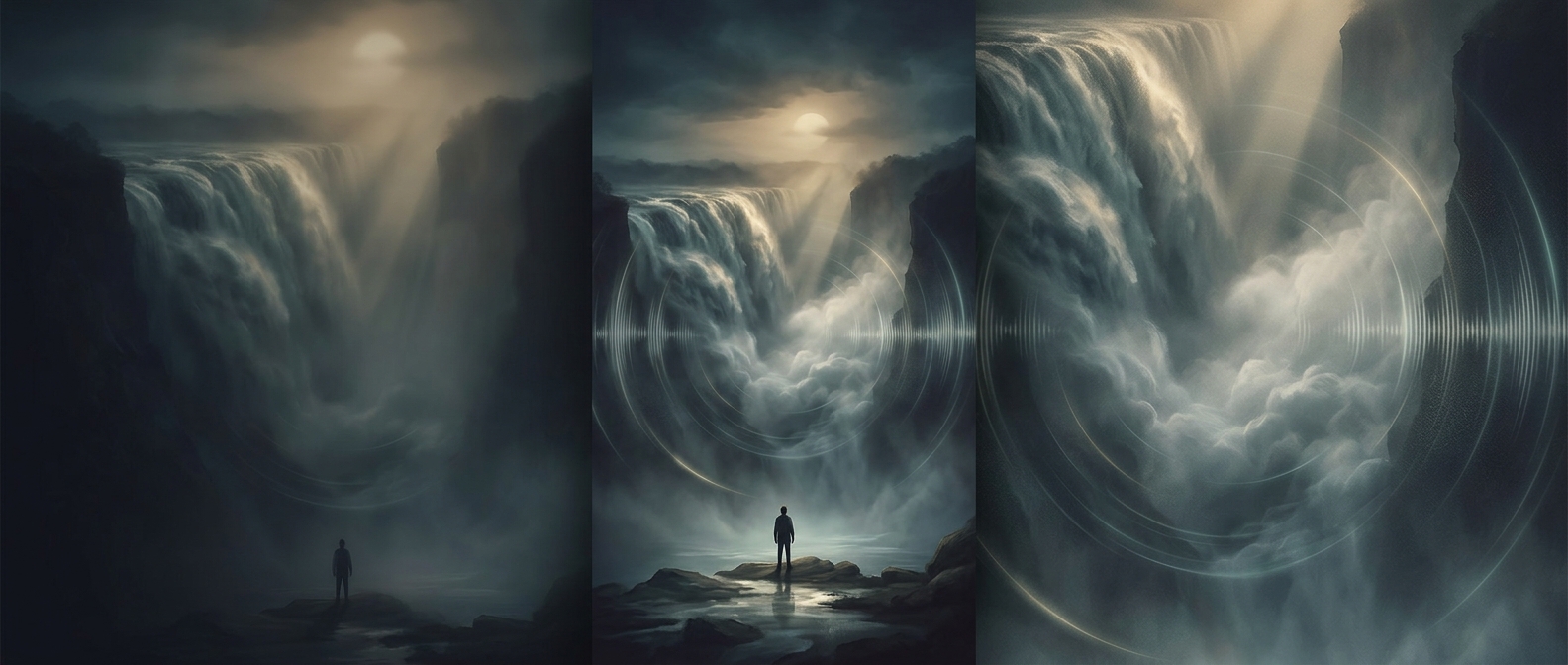
That contrast is the memorable detail: the border cuts through the cascade on paper, while the water keeps pouring across the rocks without marking where one country ends and the other begins.