A river shaped by China’s eastward slope
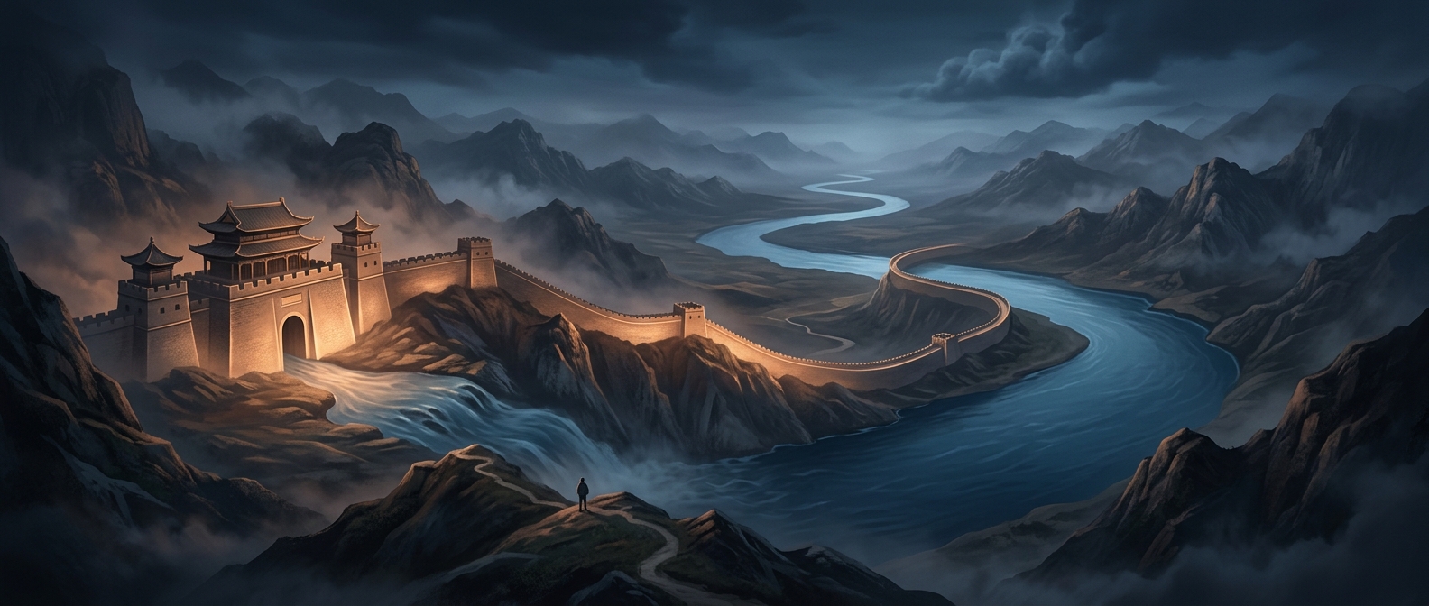
The Yangtze begins high on the Qinghai–Tibet Plateau, where streams gather among the mountains, then descends across the country toward the East China Sea. Its long eastward course links landscapes that feel almost like separate worlds: high, rugged headwaters; deep gorges and the Sichuan Basin; broad central plains; and, at the end, the densely settled Yangtze River Delta near Shanghai.
That route is possible because much of China’s interior slopes toward the east. The river collects water from a vast drainage basin—land whose rain and snowmelt feed the same river system—while tributaries add to its flow along the way. Mountains, plateaus, and plains shape its changing course, but the watershed remains within China’s borders.
One waterway, many regions
The Yangtze is more than a line across a map. For people traveling along it, the shift from steep upper reaches to navigable lower stretches marks a journey through changing terrain and ways of life. In the delta, the river spreads into a network of channels and waterways before reaching the sea, connecting inland routes to coastal ports.
Its nearly 4,000-mile course is striking not simply for its length, but for how much of China it ties together without crossing an international border: a single river system runs from the country’s high western plateau to its eastern coast.