A citadel tucked above the river gorge
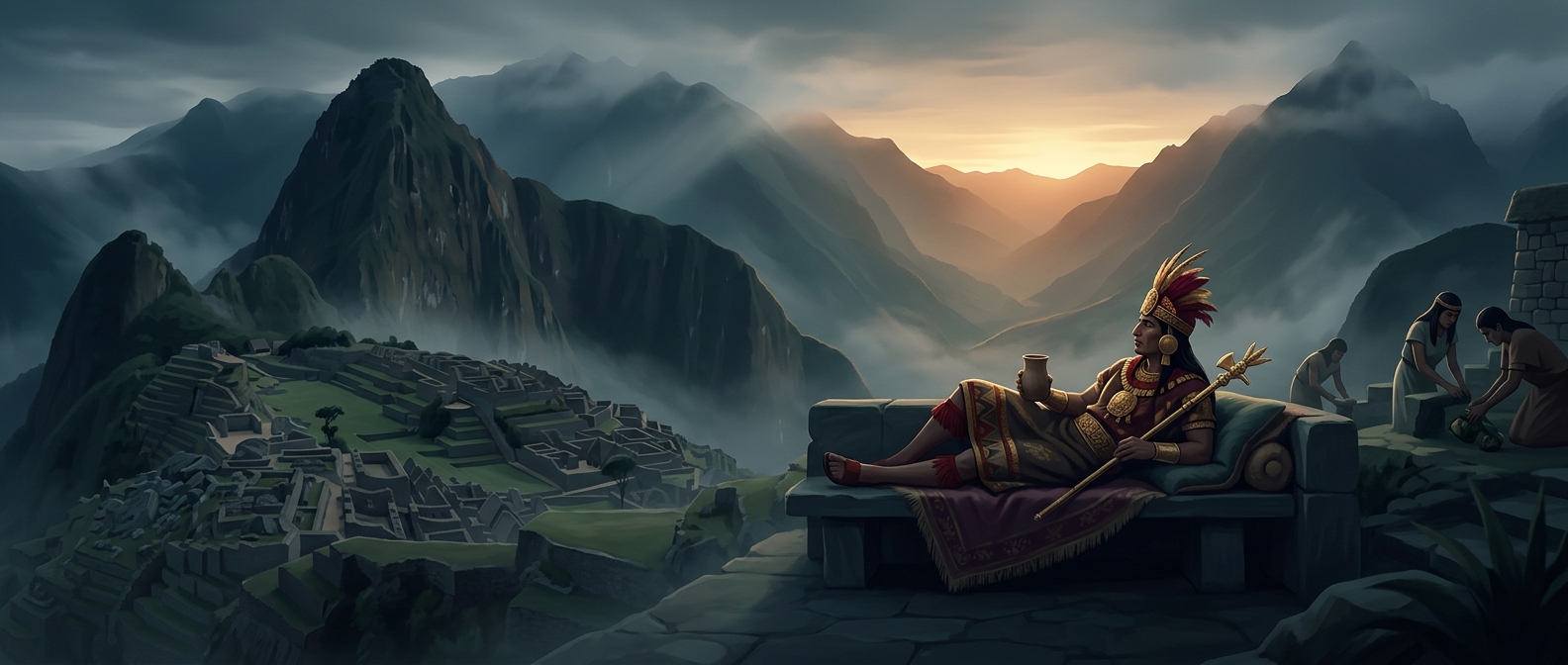
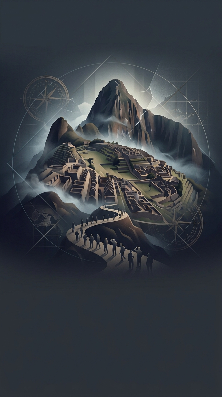
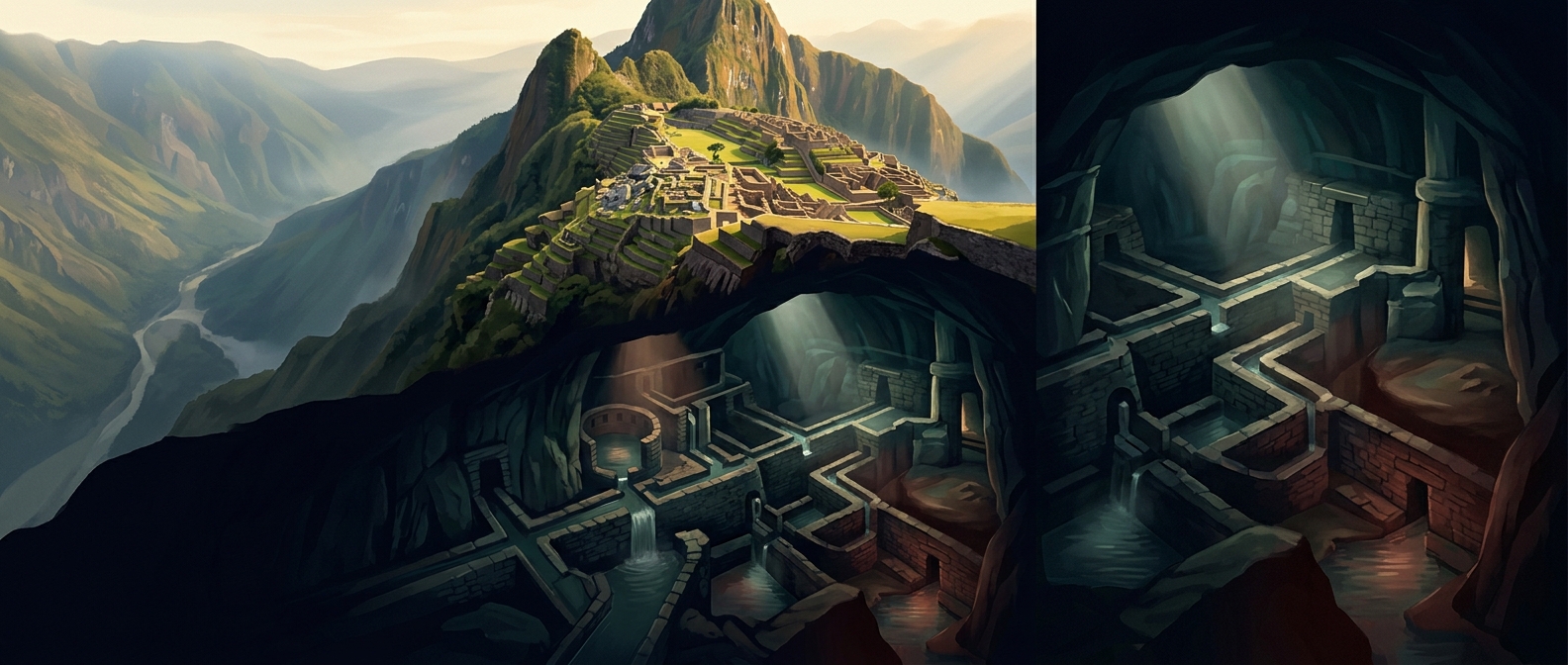
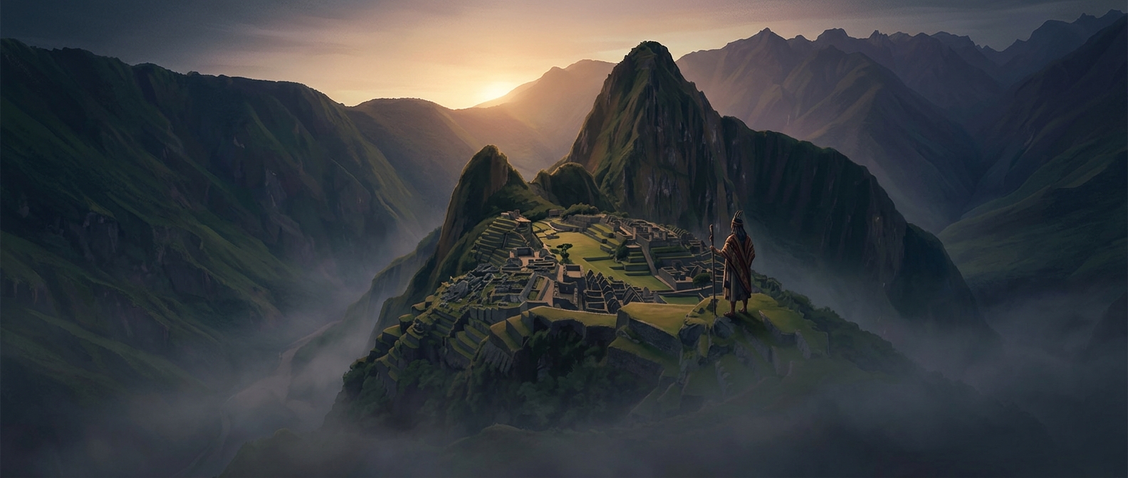
Machu Picchu stands on a narrow ridge high above the Urubamba River, surrounded by steep slopes and cloud-covered mountains. The terrain made reaching it a demanding journey—and kept the settlement out of sight from many routes through the valley below. It was not simply far away; it was perched in a landscape that concealed paths and buildings behind folds of rock and vegetation.
Distance was only part of the protection
Spanish forces could destroy places they could reach and identify as important centers of Inca power. Machu Picchu, however, was not an obvious target from the main routes of conquest. Its remote position and limited access reduced the chance that Spanish officials would encounter it, while the steep terrain made a large expedition there difficult.
The site was not erased from local knowledge. People lived in the region, and local residents later guided Hiram Bingham to the ruins in 1911. What is missing is clear evidence that Spanish authorities occupied or systematically dismantled the citadel. So “never found” is best understood as a lack of documented Spanish discovery—not proof that no Spaniard ever knew of the place.
What the landscape preserved
Machu Picchu’s isolation helped many of its stone buildings and terraces survive without the extensive rebuilding or destruction seen at more accessible Inca sites. The same mountain setting that made daily access difficult also shielded the citadel from sustained outside attention. Its survival was not just a matter of being hidden on a map: the surrounding terrain made it hard to see, reach, and exploit.