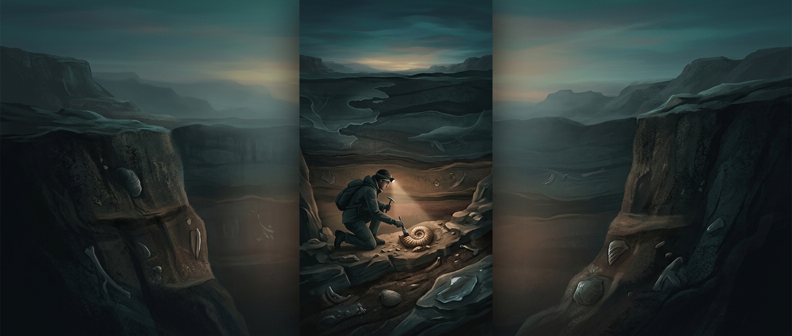
How a vanished river leaves a trace underground
A river does more than carry water across a landscape: it sorts and deposits sediment. Fast-moving water can roll coarse gravel along the channel floor, while slower water lets finer sand, silt, and clay settle. When a river shifts course or dries up, later deposits may bury those layers. The old channel can then survive underground as a strip of sediment unlike the material around it—a paleochannel, or ancient river course.
Reading the buried layers
Geologists look for patterns rather than a single telltale rock. A channel deposit may cut into older layers, contain a mix of grain sizes, or show sediments arranged in ways consistent with flowing water. Nearby material can provide a comparison: fine floodplain mud, for example, may flank coarser channel deposits. Together, these contrasts help reveal the channel’s width, direction, and changes in flow.
The clues are incomplete. A later river may cut through the same area, and wind, floods, or soil formation can alter or cover the original deposits. So researchers combine observations from exposed rock, boreholes, and subsurface imaging where available, checking whether the suspected channel pattern continues below ground.
Reconstructing a changing landscape
Once mapped, a buried channel can show that water once crossed ground that is now dry—or that a river took a different route before the present landscape formed. Comparing its sediments and position with surrounding layers helps place that change in sequence: a channel must have existed before the deposits that buried it. The result is not just a map of an old river, but a record of how the landscape and its water routes changed over time.