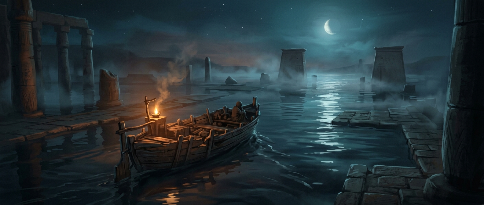
When the road disappeared beneath Lake Nasser
The Aswan High Dam transformed the Nile valley upstream into Lake Nasser, a vast reservoir that submerged parts of historic Nubia. Water covered not just homes and farmland but also the routes that had connected villages. The result was a transport problem with no simple road-building fix: communities that had once been linked across dry ground now faced stretches of open water.
A ferry replaced a road—but not its flexibility
A road lets people travel when they choose and carry goods along a continuous route. A ferry can bridge water directly, but it depends on a boat being available and making the crossing. If service is slow or unreliable, travelers must wait; a trip that looks short on a map can take much of a day in practice.
Building roads around the reservoir can mean a substantial detour, while maintaining ferry links requires vessels and dependable service. The two options solve different problems, and neither automatically restores the old network. A village may be physically close to its destination yet poorly connected to it.
The hidden cost of submerging a route
When a reservoir floods a landscape, the loss is not only the land under the water. Roads, crossings, and familiar connections disappear too. In Nubia, the ferry became part of everyday infrastructure, carrying the burden of links that the former routes had provided. The water shortened the distance in one sense—but made reaching the other side depend on a boat.