Why the Bay Can Be the Faster Route
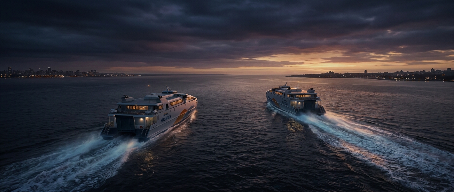
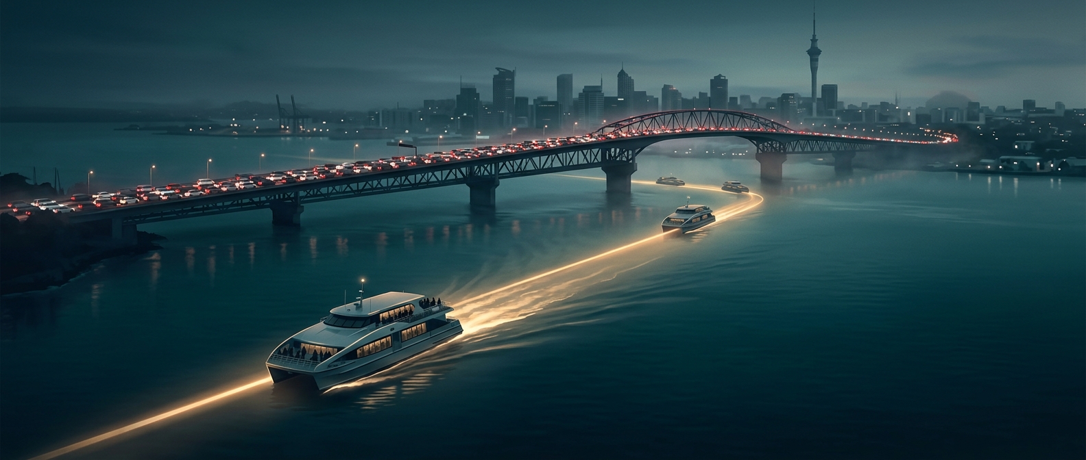
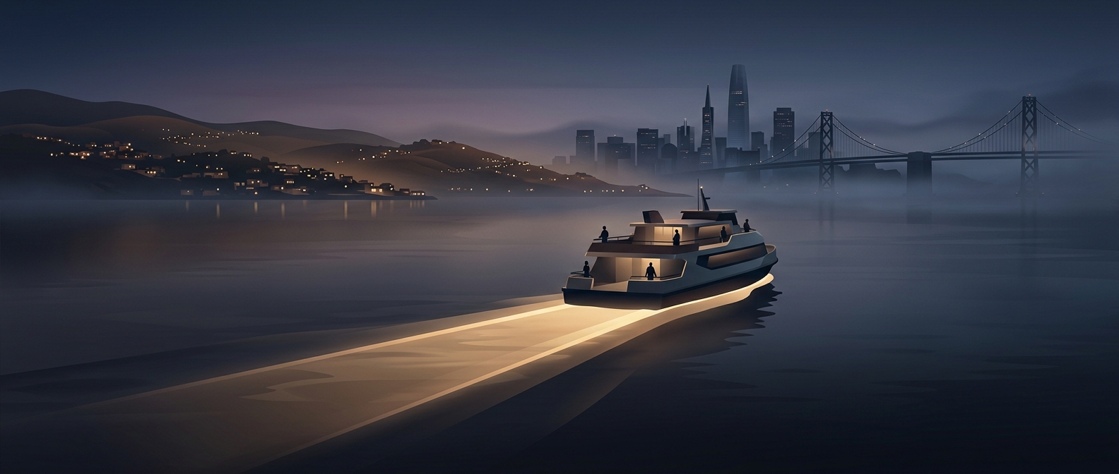
San Francisco Bay creates a peculiar commute: two places may look close across the water yet sit far apart by road. Drivers have to follow the shoreline to a bridge or go around the bay’s inlets, adding miles before they can head toward their destination. A ferry cuts across that geometry. The boat travels a relatively direct line between waterfront terminals, turning water that blocks cars into a corridor for passengers.
A Shortcut With Fixed Edges
That shortcut depends on more than distance. Ferries work best when terminals sit near where people live, work, or can connect to other transit. A passenger may walk or take a bus to the dock, cross the bay, then continue on foot, by bicycle, or on another service. The ferry avoids road congestion over the water, but the full trip still depends on the schedules and connections at both ends.
Unlike a road, a ferry route has no intersections or stoplights along the crossing. Its capacity is concentrated in each departure, so arriving just after a boat leaves can mean a wait rather than a slow crawl. Weather, operating hours, and the location of terminals also shape how useful the route is for everyday travel.
Water as Transit Infrastructure
A ferry does not eliminate the bay as a barrier; it changes what the bay is for. Instead of forcing every trip to converge on bridges and shoreline roads, it gives some travelers a direct link between coastal communities. That can make a geographically distant suburb feel nearer—not because the land has moved, but because the useful route runs across the water.