Two Ways to Make Distance Legible
A road’s length is invisible while you travel it. Roman milestones and Han-dynasty Chinese trip counters turned that invisible measure into something travelers could recognize: in one case, a number fixed beside the road; in the other, a signal produced by the moving vehicle.
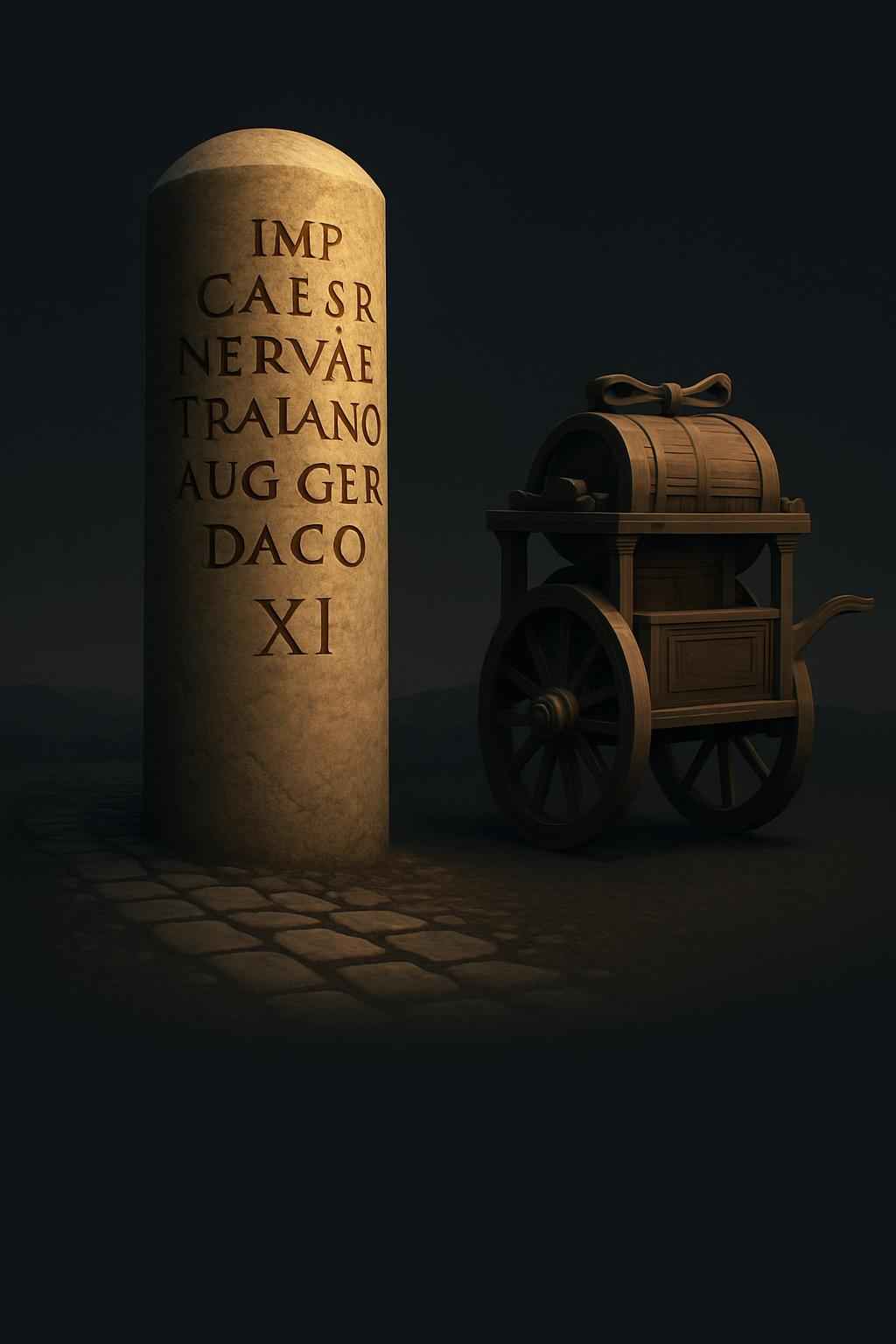
Roman milestones were stone posts placed along roads. Their inscriptions could name the emperor and give the distance to Rome, making the capital a reference point even far from the city. The stone did more than help a traveler estimate how far remained. It also made the road network—and the ruler associated with its upkeep—visible in the landscape.
A Measure That Traveled
The Han device measured distance as a carriage moved. Gears linked to the wheels converted their turning into counted progress: after the carriage covered a set interval, a mechanism made a drum sound. The traveler did not have to stop and inspect a marker; the vehicle announced that it had reached another measure of the route.
That depended on a basic relationship between wheel rotation and distance. If the wheel’s size was known, each turn represented a repeatable stretch of ground, and gearing could tally those turns. The device was therefore a mechanical counter, not a map: it recorded how far the carriage had gone, but not where it was or which direction it should take.
Stone and Sound
The contrast reflects two different ways to organize travel information. A milestone stayed in place, offering a durable reference to anyone who passed. A geared counter carried its measurement with the vehicle and delivered it as an audible cue. One made distance part of the road; the other made it part of the journey.