Turning a shadow into a slice of Earth
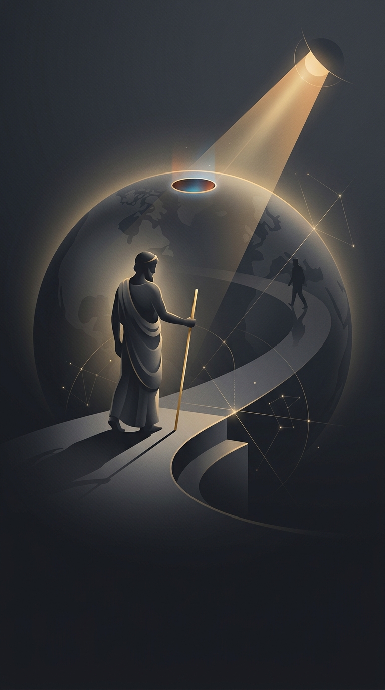
The key was not the shadow by itself, but the comparison between two places. At the same moment, sunlight reaches Earth from so far away that its rays can be treated as nearly parallel. If Earth is curved, vertical objects at different locations point in slightly different directions. Their shadows therefore reveal the angle between those locations at Earth’s center.
In Eratosthenes’ construction, Alexandria’s shadow supplied that angle. The distance south to Syene supplied the length of the corresponding arc along Earth’s surface. In a circle, an arc that spans one-fiftieth of the full angle also spans about one-fiftieth of the circumference. Multiplying the measured distance by 50 extended that small slice into an estimate of the whole planet.
The hard part was measuring the ground
The geometry is simple; the distance was less so. Syene, near modern Aswan, and Alexandria were separated by a long journey, and the relevant measurement was the distance between them along the ground—not a straight line through the air. Ancient accounts report that Eratosthenes used a distance estimate, but the precise method and how closely it matched the cities’ true separation are uncertain.
The calculation also relied on practical approximations: the two cities were treated as if they lay on the same north–south line, and Syene’s position was treated as directly beneath the Sun at noon on the solstice. Small errors in those assumptions or in the distance would change the result. Still, the method turned a local observation into a planetary measurement: a shadow in one city could reveal the scale of a world hundreds of miles away.