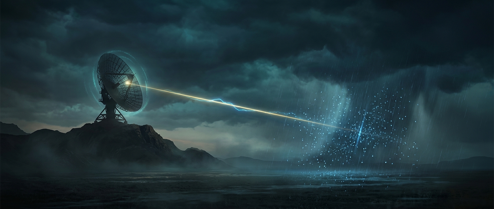
How a radar pulse becomes a map of rain
A weather radar does not photograph a cloud. It sends out a brief microwave pulse, then listens for a faint echo. Water droplets and ice particles scatter some of that energy in many directions; a small portion travels back toward the radar. The stronger the returning echo, the more precipitation particles are generally present in that patch of sky.
The delay before the echo arrives gives its distance. By turning its antenna and repeating the measurement in different directions, the radar builds a map around itself rather than relying on a single observation. The result is updated as new pulses sample the same areas.
What the signal can—and cannot—tell forecasters
Echo strength, called reflectivity, helps estimate how much precipitation is falling. But it is not a direct rain gauge: large drops can return more energy than many small ones, and hail or melting snow can also produce strong echoes. Forecasters interpret the radar pattern alongside other observations to judge what is reaching the ground.
Some radars also measure a subtle change in the returning wave’s frequency. That shift reveals whether precipitation is moving toward or away from the radar, and how quickly. This Doppler information can expose wind patterns inside a storm, including rotation that may be hard to infer from the echo’s shape alone.
The practical advantage is speed: radar can repeatedly scan a broad area, showing a storm’s movement and changing structure before it arrives at a particular community.